
AcATaMa
AcATaMa
The AcATaMa is a Qgis plugin for Accuracy Assessment of Thematic Maps.
Examples
Download the examples in order to load them in Acatama and explore the configuration and results, you can find the zip here
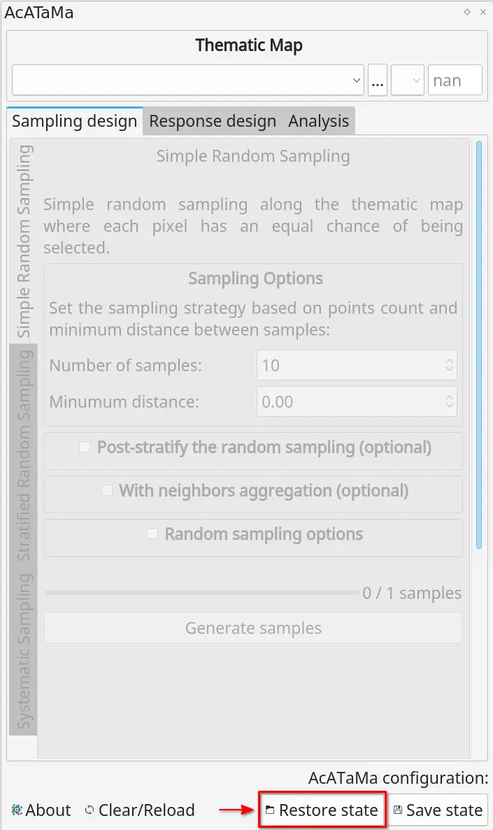
Load the examples using the Restore state function in Acatama:
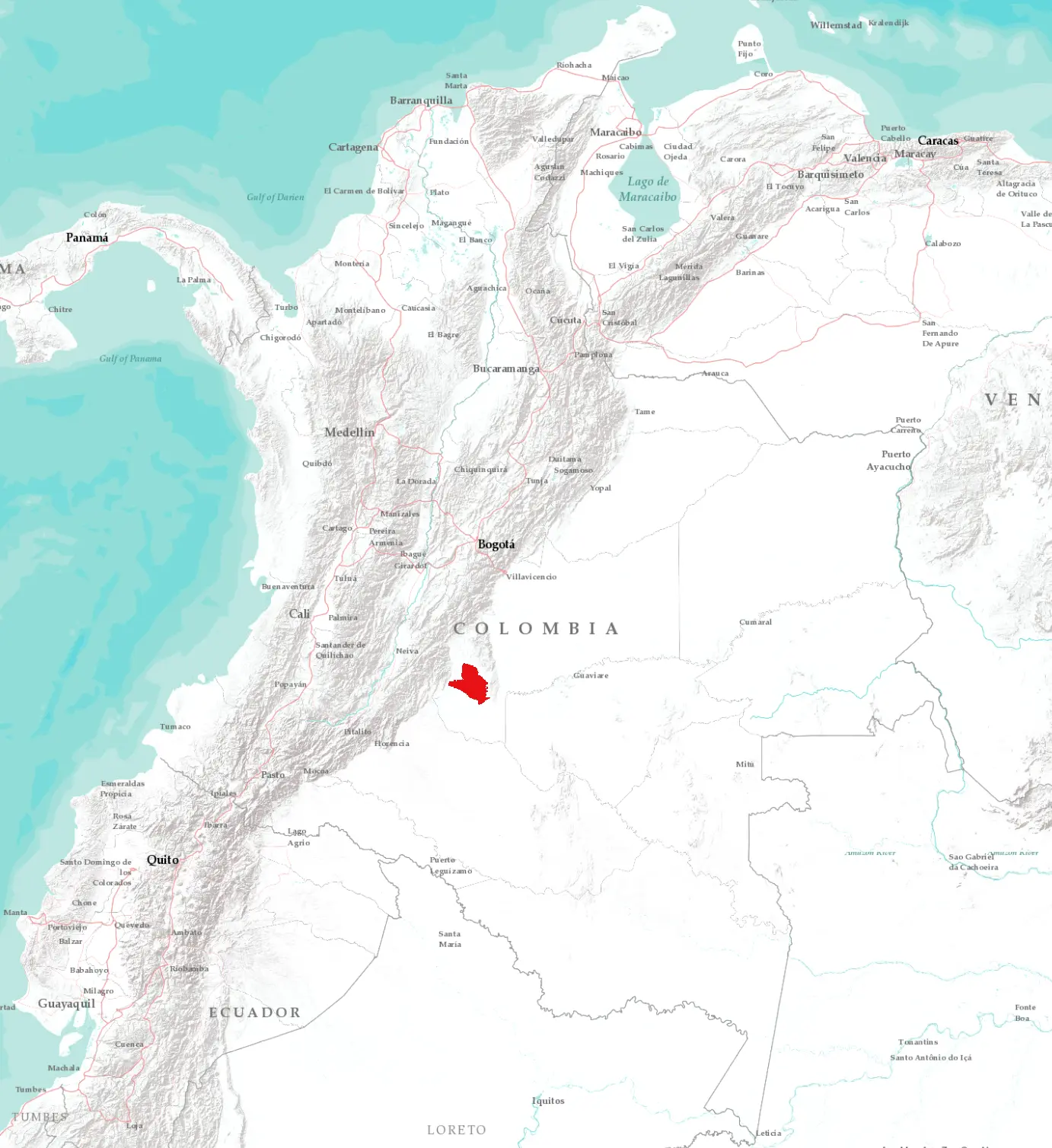
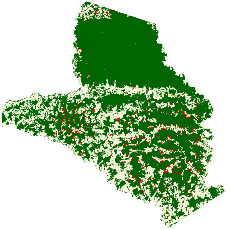
The examples were made with the forest land change map in Colombia for the year 2019-2020, the study area is the Tinigua National Natural Park an area with a high deforestation rate that is located on the border of the Colombian Amazon and the Andes mountains. The classes that are assessed in this thematic accuracy assessment are Stable Forest, Non-Stable Forest, and Deforestation.
The three types of sampling were carried out: simple random, systematic and stratified. For each sampling, 500 evaluation points were chosen and Landsat images from 2019 and 2020 were used as reference data to identify the change in coverage. The Landsat satellite images are the primary input for evaluating thematic accuracy, and they are supplemented by a query of satellite image data from the Google Earth platform (not set in the examples, however we recommend having supplemental data by Google Earth Engine plugin based on your use case and needs)
The main goal of these exercises is to define the agreement between the forest change detection map and the manual classification by visually interpreting the reference data, which will result in an error matrix expressed in terms of the area relationship. The following table summarizes the response protocol specifications for all the exercises proposed:
| Protocol specifications | Description |
|---|---|
| Reference Data | Landsat 2019, 2020 and Google Earth images.. |
| Evaluation protocol | One hectare is designated as a sampling unit, that is, 3x3 pixels |
| labeling protocol | They are classified into four classes: · Stable forest · Non stable forest · Deforestation · As a labeling rule: if there is doubt about the pixel classification, the dominant class in the 9 neighboring pixels should be chosen. |
Finally, the results that are obtained when the sampling points are completed. This example presents the results with the different estimators, associated with the types of sampling such as simple random, systematic, stratified and post-stratified.
Next » References